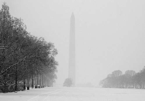
 No, it won’t be this bad. We’re just using this photo for dramatic effect, OK? Photo by kimberlyfaye
Here’s a headline for an article the Capital Weather Gang just posted: “Yes, a little snow possible late tonight and early Tuesday in D.C. area from fading disturbance.”
Are you fucking kidding me, winter? In late March? Again with this shit?
OK, so the forecast isn’t a snow-doom scenario or anything. Worst case scenario, CWG says “if this little disturbance defies model forecasts and holds together better than expected, the immediate metro area (especially the north side) could see some brief periods of light to moderate snow, briefly reducing visibility late tonight and for the Tuesday morning commute.” And, in the best case scenario, the system will fall apart and we’ll just see light flurries.
Still, this means that the temperature tonight and tomorrow morning will be somewhere in the low- to mid-30s, which just isn’t cool.
But this is hardly the worst weather the D.C. area has seen at this point on the calendar. According to Weather Underground, the record snowfall for March 23 is 2.8 inches, and that happened in 1934 (when the rest of the country was suffering from the Dust Bowl, so things could be worse).
In fact, the record low temperature for this date is 16 degrees (!), which happened in 1888. Meanwhile the record high is a whopping 93 degrees, which happened in 1907. Still, today’s slightly chilly temperatures (49 degrees at the time of writing) are about average. Actually, exactly average—the mean temperature for March 23 is 49 degrees.