 Photo by Brian Allen
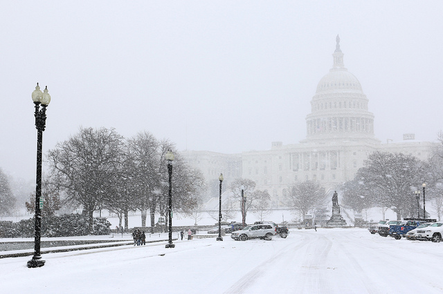
In a relatively rare show of unanimity, meteorologists agree that snow is in the forecast, beginning on Friday (evidently, they are giddy about it). The specifics of when, where, and how much are still in flux, though. Here is what area weather experts are forecasting:
The National Weather Service predicts one of the earliest snow arrival times.
Friday. Snow likely after 8 a.m. Mostly cloudy, with a high near 33. Northeast wind 5 to 7 mph. Chance of precipitation is 60%.
Friday Night. Snow. Low around 27. Blustery. Chance of precipitation is 100%.
Saturday. Snow. High near 33. Breezy. Chance of precipitation is 100%.
Saturday Night. Snow. Low around 25. Blustery. Chance of precipitation is 100%.
Capital Weather Gang says snow will begin to fall about two hours later in the morning, or even during afternoon hours. And snow totals will accumulate anywhere from 8 to 20 inches.
Snow moves into the area from the southwest on Friday, sometime between approximately 10 a.m. and 3 p.m. the way it looks now, and is likely heavy at times through Saturday.
We have a good chance at seeing snow totals of 8 inches or more, and some chance of 16 inches or more. Can’t rule out 20 inches or more. Strong winds on Saturday combined with heavy have the potential to cause power outages. Temperatures should be fairly steady in the upper 20s to low 30s throughout the event.
Despite solid model consensus, there is still time for the storm track to shift a bit further north and west, which could introduce a longer period of sleet and thus less snow. Or the storm could track a bit further to the south and east, which would increase the likelihood of all snow, but could reduce the overall amount of precipitation.
The snow should exit Saturday night or early Sunday, leaving behind a cold and breezy Sunday with increasing sun and highs in the mid-30s to near 40.
NBC4’s Storm Team calls for at least 12 inches of snow, with the heaviest precipitation Friday night.
“I think there is no problem with us saying right now that everybody—just about everybody in our area, just about—we’ll see at least a foot,” Storm Team4 Chief Meteorologist Doug Kammerer said. “Some areas may see two feet. That is not out of the realm of possibility.”
The heaviest snow is expected Friday night and early Saturday. Heavy wind could accompany the storm, which means a blizzard, downed trees and power outages are possible.
The D.C. metro area could see 10 to 18 inches of snow. Areas further west could see up to two feet of snow.
Reminder: For shelter information or to request transportation for someone in need, contact the shelter hotline at 202-399-7093, 211, or 1-800-535-7252 (toll-free from a pay phone). You can also contact them via email: uposh@upo.org.
And if you’re in a nearby suburb:
Arlington County: 703-228-7395
Alexandria: 703-548-7500
Fairfax County: 703-691-2131
Montgomery County: 240-777-4000
Prince George’s County: 888-731-0999