Rachel Kurzius
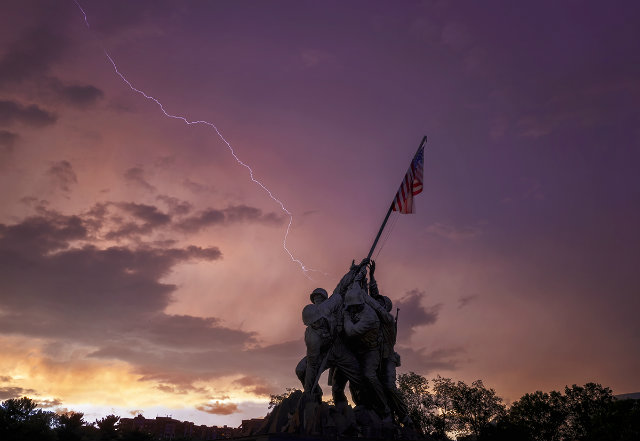 Photo by Angela Pan.
It may not be raining at this very second, but the National Weather Service still has a flood watch in effect for Washington D.C. and surrounding areas until 1 a.m. on Thursday—and that’s not the only weather to watch out for.
The National Weather Service is forecasting “severe thunderstorms” this afternoon after 4 p.m., “with damaging winds, heavy rain, and frequent lightning.” Accompanying the precipation is “a southeast wind [of] 14 to 21 mph, with gusts as high as 30 mph.” By around 10 p.m., NWS expects more scattered showers.
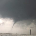
A hazardous weather outlook from the NWS warns that “isolated tornadoes” are possible late this afternoon through this evening, as well. “Generally, the greatest risk of severe weather is south and southeast of the metro region, where temperatures surging to near 70 degrees offer fuel for developing storms,” explains the Capitol Weather Gang.
Be wary when you’re traveling home tonight, because the severe storms could impact your evening commute.