 Photo by anokarina
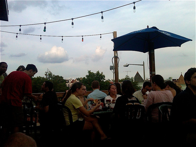
Last week, DCist offered a handful of suggestions for elevated outdoor drinking, but the list of this city’s roof decks extends well beyond the seven listed here. In fact, the true number of bar and restaurant roof decks is difficult to pinpoint, considering how many establishments continue to convert their roofs from tar paper to tap lines.
But one resident is trying to keep a running tally of D.C.’s roof decks, and displaying them on a handy—and embeddable—map. Tom Allison, a communications policy analyst who lives in Petworth, created the map using suggestions submitted by a group of Reddit users on the Washington, D.C. thread. Allison’s map, based off Redditors’ collective suggestions, shows 36 spots, with more being added as they are mentioned.
(For what it’s worth, the Reddit thread on which Allison bases his map also offers some color commentary on DCist’s list, though this website stands firmly behind its inclusion of the roof decks at the Swedish Embassy and atop residential buildings.)
Allison first posted the map on his blog, Map Attacks, on which he publishes cartographical analyses and other data visualizations. And as his source material for the roof deck map is built off of a Reddit-generated list which continues to be updated, he says the map will expand as more locations are provided.