 (Courtesy of DCPL)
Interested in D.C.’s landscape a couple of centuries ago? There’s a book for that.
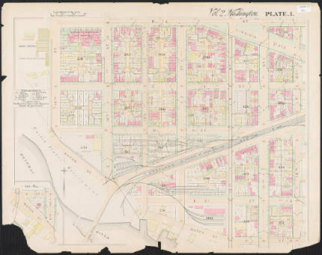
The D.C. Public Library digitized an atlas that dates back to 1893 and put it on their Dig DC portal, which holds special collection items ranging from first-hand accounts of the 1963 March on Washington to a virtual downtown walking tour of the D.C. punk underground.
The book holds 33 large scale plates with details like square and lot numbers, building footprints and construction and street widths throughout the city as tracked by the surveyor’s office.
If you live in Navy Yard, Capitol Hill, Barney Circle, NoMa/Sursum Corda, the Atlas District, Kingman Park or Southwest, you can check out what once stood where you live now.