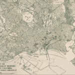
Despite the occasional diagonal state street or traffic circle, D.C.’s street grid makes it easy to navigate the city. East-west streets are lettered or named, and north-south streets are numbered. But there are plenty of exceptions to the grid — primarily in the areas outside of the original L’Enfant plan for the District’s layout.
One vivid example of an exception to the “standard” grid is in Trinidad. The perpetually labeled as up-and-coming neighborhood, located north of Florida Avenue NE and east of West Virginia Avenue NE, has its own unique street grid, rotated roughly 30 degrees from the usual grid that’s found directly south. The result is all sorts of wonky intersections along Florida Avenue NE.
How did it end up like this? Information about the early development of Trinidad is hard to come by (including a lack of concrete information about the origin of the name), but there are some clues. The biggest reasons for the unusual grid are two things that no longer exist: a railway and a brickyard.
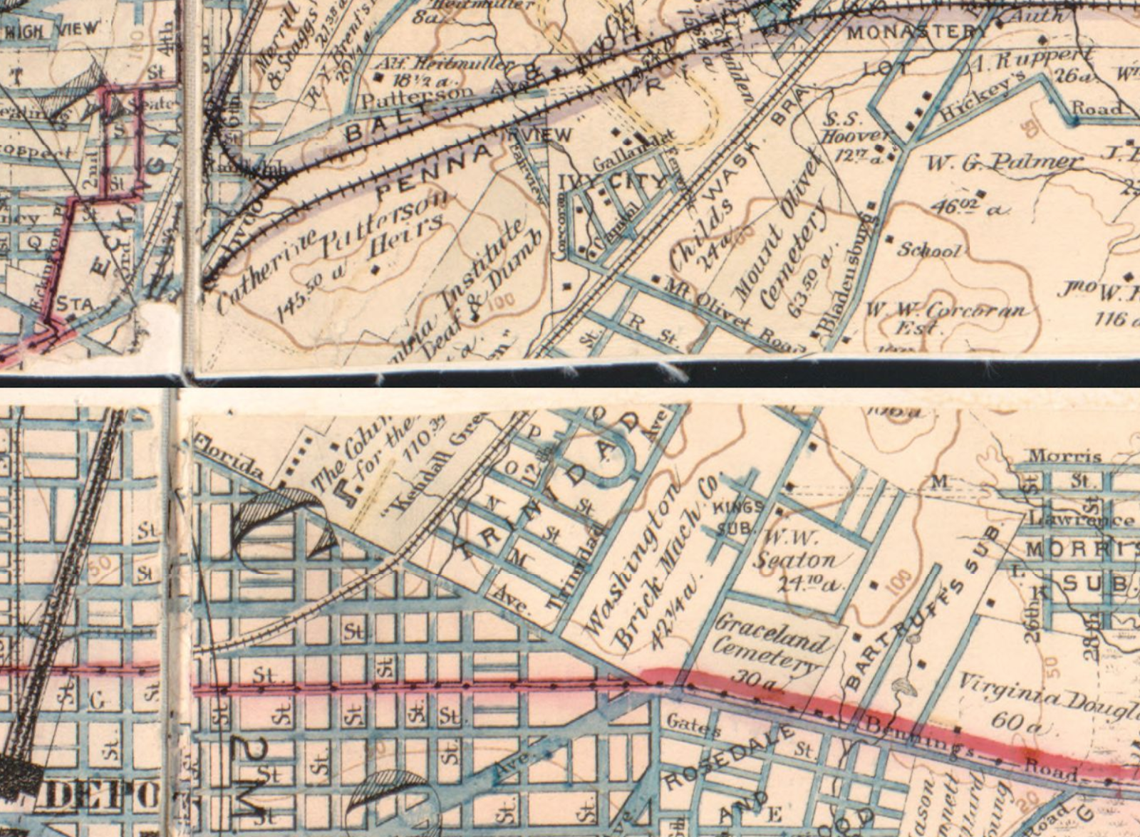
Historical maps from the mid-to-late 1800s, when Trinidad was first being developed, show the neighborhood bordered on the west by the Baltimore and Ohio Railroad and Columbia Institute (later Gallaudet University). The railroad right-of-way was later used as the base for West Virginia Avenue NE. On the east, Trinidad was bordered by a brickyard, which sat between Trinidad Avenue NE and Bladensburg Road NE.
A May 1891 Washington Post article described Trinidad as “situated fronting on the north side of Florida Avenue.” The decision to orient Trinidad to Florida Avenue made any future extension of the numbered grid streets difficult. There was room for only a few streets to continue directly north into the new subdivision. By the time the brickyard was no longer operational, houses had already been built, preventing the extension of any road except 15th Street NE.
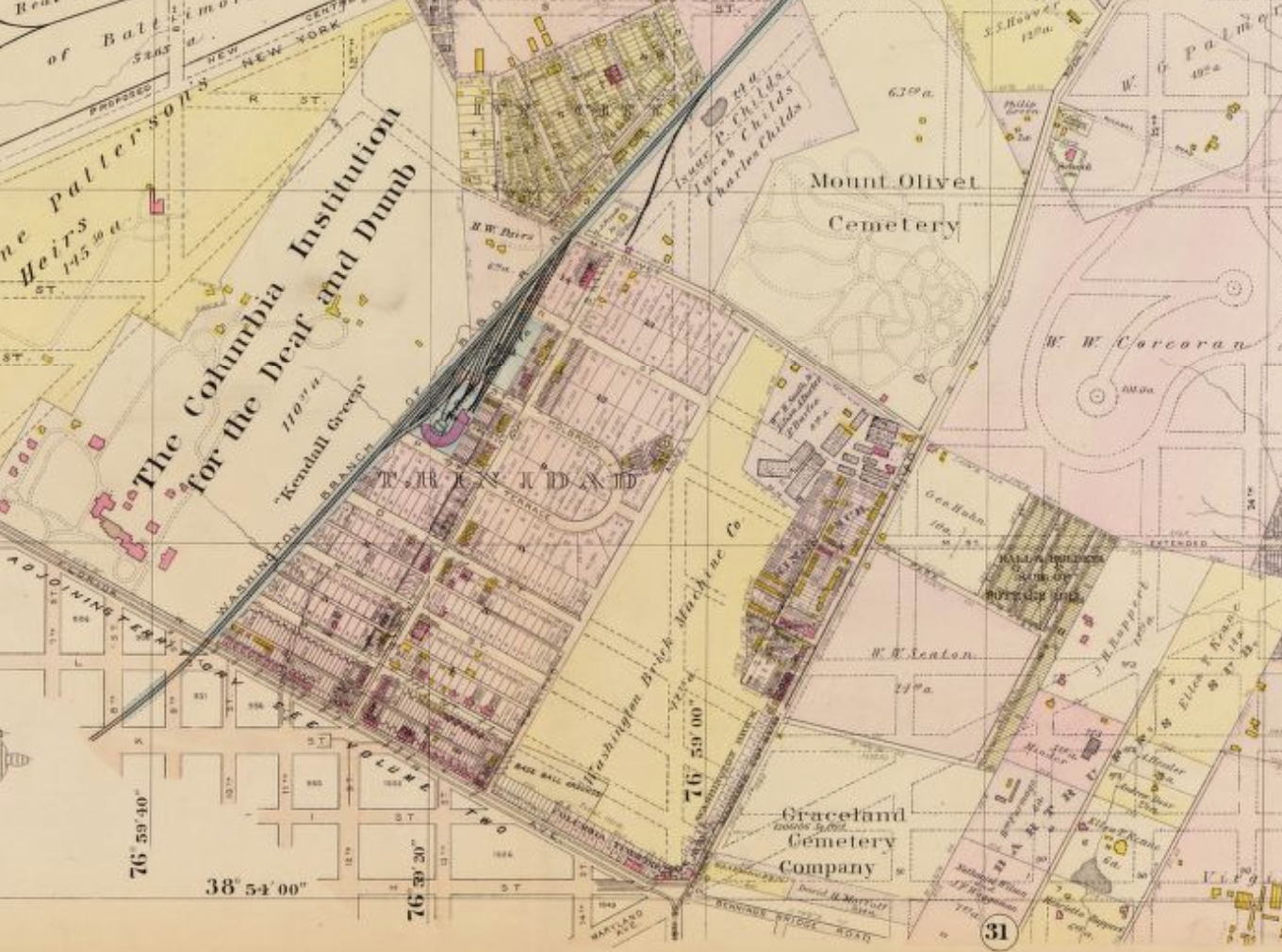
It is also important to keep in mind that at this time, much of the land around Trinidad was unavailable for development. In addition to Mount Olivet Cemetery, located on the neighborhood’s northeastern side, much of the surrounding land was either industrial, or privately owned by wealthy Washingtonians. A 1903 map of the area shows many of these estates. Note that one grid street, 15th St NE, is shown as a “paper street,” but was never built through the former brickyard grounds.
That same 1903 map also shows a baseball field located at the corner of Florida and Trinidad Avenue NE. From 1901-1903, the Washington Senators played at this location, known as American League Park.
While the ballpark and brickyard are long gone, houses that sit on these former sites are distinct from other properties in Trinidad because they face east or west, rather than north or south, like homes in older parts of the neighborhood.