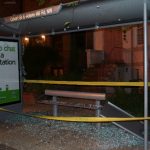
If you walk along Adams Mill Road NW, just a few blocks north of the main drag in Adams Morgan, you’ll come across an odd sight. At the intersection of Adams Mill and Clydesdale Place there’s a mysterious structure with stone walls, a roof, and a length of chain link fence. Inside is … dirt.
Behind the fence is a sign that sort of explains the situation, albeit in as unhelpful a way as possible for the layman.
The sign is titled “Overthrust Fault,” with the riveting text: “This site is an example of an overthrust fault.” Two diagrams show the position of various layers of rock before and after movement along a fault.
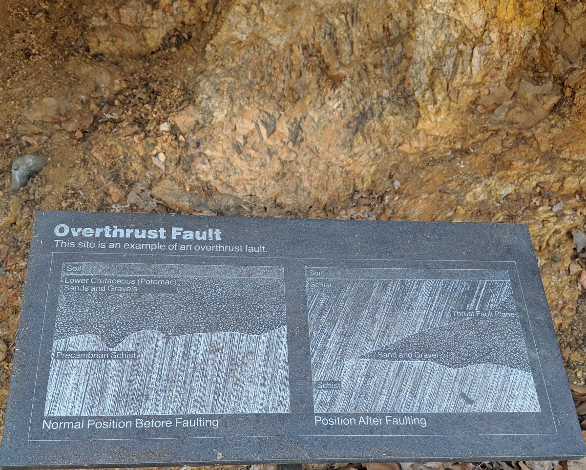
The older bedrocks is the “Piedmont region,” while the younger rocks are part of the softer, newer “Atlantic coastal plain” (to be clear, by younger, we’re still talking about 100 million years ago versus 400 million years ago, give or take a whole lot). The fall line where they meet passes right through Northwest D.C., which largely explain why northern neighborhoods tend to be much hillier.
Ryan Lavery, a spokesperson for the Smithsonian, provided a more detailed description, courtesy of the Institution’s Department of Geology:
“When rocks come under compressional forces, sometimes they break. The result is a fault that juxtaposes older rocks over younger ones. This is known as a thrust fault. What is surprising is that along the east coast of North America, we think of regional stresses being kind of benign in this day and age. So finding a compressional feature like this is not what most geologists would expect.”
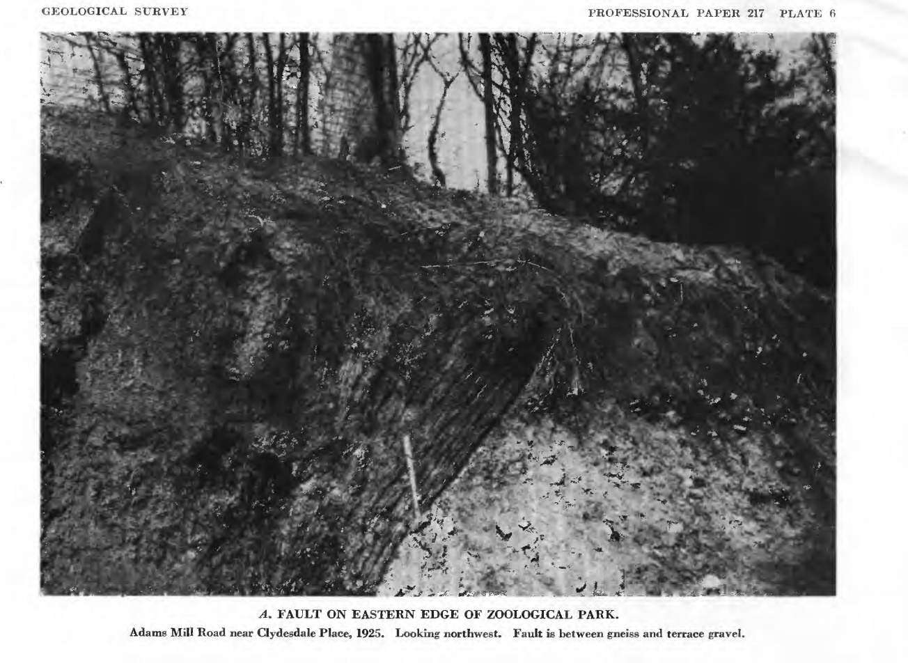
Geologist N.H. Darton located the fault in the 1920s, and worked with the Smithsonian to erect the protective structure.
Despite the roof and fence, erosion has taken a toll on the site, making it difficult to easily discern the fault. But the fault line was more visible in the past, as demonstrated by early photos from the U.S. Geological Survey.
While the structure sits on National Zoo property, the Smithsonian has been unable to determine who, if anyone, maintains it. Lavery told DCist that “the layers of history on the structure are proving to be quite an obstacle to a quick answer.”
It is just one of a number of faults identified in the District, with at least seven found within or near the National Zoo. Darton found one of the largest in 1925 in a sewer cut along 18th Street near California St. NW, according to a 1950 Geological Survey Bulletin.
As the 2011 earthquake in Mineral, Virginia demonstrated, our region is not immune from quakes. But none of these are “active” seismic faults and are unlikely to cause earthquakes. The fault visible in Adams Morgan is more a curiosity for passersby than a cause for concern.