Jacob Fenston
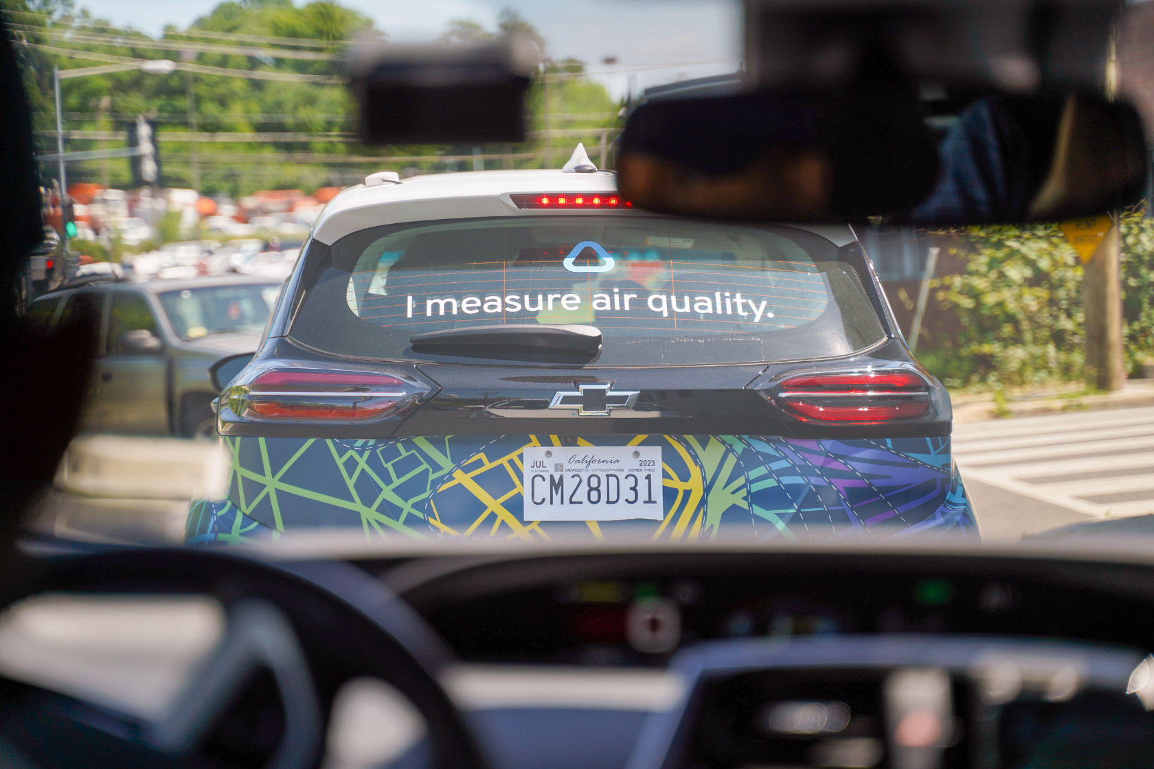
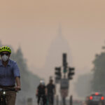
In the digital age, checking your local air quality seems pretty straightforward: a quick internet search, or a glance at the weather app on your phone. But there are big gaps in this air quality data — it’s a bit like when the weather app says it’s sunny, but looking out the window you can see it’s raining.
Later this month, D.C. is launching a pilot program using mobile air quality monitors to create detailed, block-by-block air quality maps of some of the most polluted neighborhoods in the city — places where residents have long complained of dirty air, but so far haven’t had precise data.
While D.C.’s air has gotten a lot cleaner over the past two decades, it hasn’t improved equally everywhere: air pollution is still concentrated in a handful of majority-Black neighborhoods located near industrial sites, freeways, and other large roads.
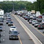
Air pollution laws in the U.S. are focused on regional air quality. Under the federal Clean Air Act, entire counties are designated as meeting, or not meeting, air quality standards. When you check the local air quality index, or AQI, you’re seeing data from stationary air monitoring stations, and the nearest one could be miles away. In the District, there are five such stations spread unevenly across the city’s 68 sq. miles.
“Those are basically meant to give us an overview, sort of an average idea of what the overall air quality is in the District,” says Hannah Ashenafi, associate director of the air quality division at the District Department of Energy and Environment. “But what it doesn’t tell us is what’s happening on a specific block in a specific community.”

To get that hyperlocal data, D.C. is contracting with a company called Aclima, which has developed mobile monitoring equipment that fits neatly in the trunk of a small (electric) car. In California, Aclima has already done air quality mapping of the entire Bay Area, and the company is currently collecting data in much of New York State.
“You can think of this system like an X-ray, where suddenly you can put on X-ray goggles and see where all the pollution is,” says Davida Herzl, CEO of Aclima. “Once you put on these goggles, you see, ‘oh my gosh, there’s actually thousands, and thousands, and thousands of sources.'”
Air pollution can vary from one block to the next by as much as 800% according to Aclima data from the Bay Area. And, there’s a clear racial disparity: in the Bay Area, the company found air pollution was 55% higher in neighborhoods of color, versus mostly white neighborhoods.
Previous research in the District has used satellite data to estimate pollution levels between the stationary air monitoring stations. The research showed disparities along familiar lines — with cleaner air in the majority white areas west of Rock Creek, and dirtier air in neighborhoods with more residents of color, on the east side of the city.

The mobile air quality monitoring will take place starting June 12, and last for two weeks. The pilot project will cost the District $150,000, and the funding is coming out of DOEE’s budget. A small fleet of Aclima cars will follow routes scientifically calibrated to accurately reflect air quality, taking samples day and night.
“All of the amazing software that routes things like Lyft and Uber, we’re actually putting to use for good,” says Herzl.
The neighborhoods in the pilot program are Ivy City, Brentwood, Buzzard Point, and Mayfair.
“We wanted to focus on communities that we know historically have been overburdened by air pollution from historically racist development practices, citing residential areas near industrial areas,” says Ashenafi.
In some of those neighborhoods, people have been pushing the city to take action for years.
“Actually, they should have been doing this, you know — y’all like 50 years too late, to be truthful,” says Ann Willis, a longtime resident of Ivy City.
Willis says she hopes the project brings more awareness of pollution hotspots in the District – places where the air outside people’s homes is filled with things like black carbon and nitrogen dioxide.
“If you don’t know, and don’t nobody say nothing, you’re just going to breathe in stuff that could be killing you,” says Willis.

In many cases, though, residents do already know where the air is polluted – they can smell the exhaust fumes. Sebrena Rhodes is an advisory neighborhood commissioner in Ivy City. She can easily rattle off a long list of the top polluters in the neighborhood.
“Y’all can listen to me all day, it’s not going to mean anything unless we see it in black and white,” Rhodes says.
D.C. officials hope to expand to more neighborhoods next summer, depending on funding.