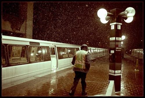
Parts of the District were treated to a very brief snow flurry around noon today, but it disappeared as fast as it started, leaving area snow lovers aroused, yet unsatisfied. But wait! The newly renamed Capital Weather Gang says there’s another chance for snow, if also a little slim, on Thursday.
Here’s the deal: A storm will come up the coast Thursday. Enough cold air will be in place when the precipitation first arrives for a possible period of wet snow late morning into the afternoon. But since any snow is likely to fall during the day and the ground is relatively warm, I think getting “stickage” is going to be tough, except in the colder north and west suburbs (spots like Gaithersburg, Sterling, etc). Those spots may receive an inch or two.
By late afternoon, most of the metro area will likely switch over to rain, with the outlying cold spots changing to liquid by mid evening. Periods of rain will fall Thursday night before cold air begins pouring into the region as soon as the storm pulls away Friday. (If I had a “Cold Lover’s Crystal Ball”, the weekend would be depicted by three fur coats.)
In other words, this week’s winter weather is turning into a big tease. All show and no follow through. Frankly, we’re thinking about breaking up with her.
Photo by Mr. KS


