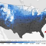
 Last winter, D.C. had a Snowpocalypse. Could this winter be the winter of the snow bubble? It sure looks that way, after yet another winter storm appears to be working its way around Washington, D.C.
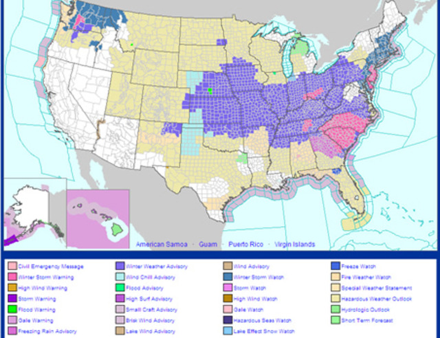
You’ll remember that we experienced a similar bubble effect during the blizzard which crushed everywhere north and east of Washington beginning December 26. The Capital Weather Gang pulled down the map to your right from the National Weather Service showing national weather warnings at 5 p.m. yesterday. Looks familiar, doesn’t it? According to the Weather Channel, at one point yesterday, 39 states and one-third of the country’s population was under a Winter Storm Watch, Warning or Advisory — but not the District.
But don’t fret, winter warriors: we will be getting a little bit of snow today — projections yesterday of up to five inches appear to have been pulled back slightly to a maximum of three inches. According to the National Weather Service, snow should begin falling in Washington some time between 3 and 5 p.m. and continue through the night, with the heaviest hitting D.C. between 7 p.m. and 1 a.m. And we finally did get a Winter Weather Advisory — basically a reminder to be careful driving out there — which will be in effect for the District between 4 p.m. today and 6 a.m. tomorrow morning. The big issue with this storm will likely not be accumulation, but the fact that chilly temperatures could cause the slight precipitation we do get to freeze over roads and sidewalks — so be careful out there.