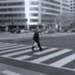
 The District might be ranked second among U.S. cities in pedestrian friendliness, but there are still plenty of intersections around town where it’s not always the safest to tread. In its performance review last week, the District Department of Transportation identified the 24 most dangerous intersections for pedestrians in the city.
The list, obtained by TBD, doesn’t really contain many surprises. All the intersections listed present their own brand of obstacle course, but several intersections in close proximity are a reminder that some heavily trafficked roads can seem much friendlier to drivers than they are toward walkers. Fourteenth Street NW is particularly treacherous, with six intersections on the list, bunched around Columbia Heights (Columbia Road, Irving Street and Park Road), Franklin Square (I and K streets) and U Street.
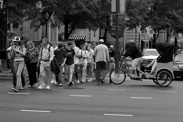
TBD reporter John Hendel, who monitored the D.C. Council’s sparsely attended DDOT hearing last week, notes that for a city in which at least 10 percent commuting is done so on foot, there seems to be a deficit of attention paid toward making things safer for pedestrians. Pedestrian advocate Neha Batti reminded councilmembers that there were 650 collisions involving pedestrians last year, 16 of which were fatalities.
Via TBD, here are the 24 most dangerous intersections for pedestrians:
- Martin Luther King and Howard Rd. SE
- H St. and N. Capitol St.
- 14th and U St. NW
- 15th and K St. NW
- Benning Rd. and East Capitol
- New York Ave and N. Capitol
- 12th and Mass Ave. NW
- 14th and K St. NW
- 17th and Rhode Island NW
- Georgia Ave. and Kennedy NW
- 7th and H St. NW
- 14th and Columbia NW
- 13th and K St. NW
- Southern Ave. and S. Capitol St.
- 16th and K St. NW
- Georgia and New Hampshire, NW
- 17th and I St. NW
- Mississippi and S. Capitol
- 14th and Irving St. NW
- 14th and Park NW
- Brentwood and W St. NE
- 14th and I St. NW
- MLK and Stanton Rd. SE
- 19th and L St. NW
Update, 2 p.m.: Wow, wish we’d thought of this: Reader Tom Buckley took DDOT’s list of dangerous intersections and tabulated them on Google Maps, coming up with an aggregated layout of the District’s most perilous spots for pedestrians. Each red dot represents one of the intersections: