Martin Austermuhle
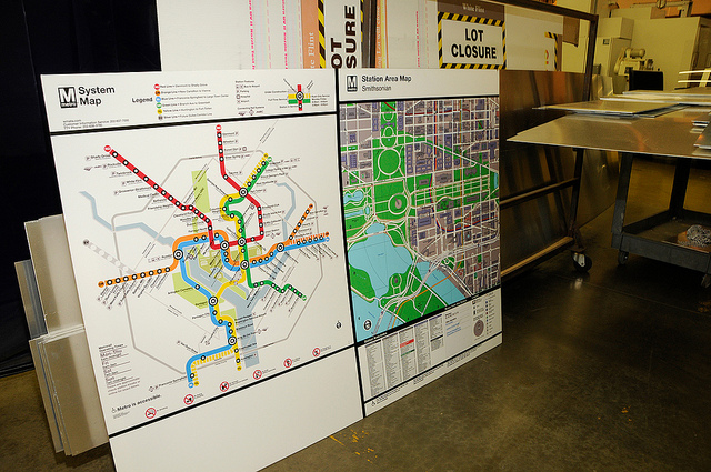
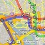
You might see Metro’s iconic system map on a daily basis, but do you ever stop and consider how it’s actually made? It’s not as simple as hitting “Print” on a computer, it seems.
As Metro prepares for the June 18 start of its new Rush+ rush hour plan, it has been forced to reprint thousands of system maps to let customers know which train will take them where. According to a Fox 5 report, that process includes separate screens for every color on the map—there are 13, all told—for the thousands of maps that are placed throughout the system:
In all, 6,341 signs will be replaced—5,020 on trains and 1321 other signs. All of them, except for 199 Braille signs, are being made by Metro.
Each map for instance has 13 colors, which must be printed one at a time. That is why Metro started the last week of April.
There are also multiple shades in different colors, three shades of gray, three shades of green and two shades of blue. To clear up any confusion, the workers had to label each color with different names. There is River for one shade of blue, National Mall for a shade of green and Beltway gray.
“Every color uses a separate screen. So if we have 13 colors, 13 screens,” explained Wallace.
As you can see from the pictures above, each map is made by hand.