 Photo via futureatlas.com
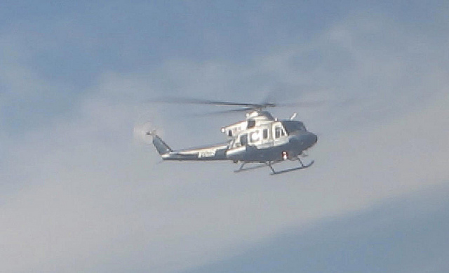
If you’ve noticed a few extra helicopters buzzing above D.C. in recent days, it’s not because of any stepped-up police or military presence, though some of those choppers are flying pretty low to the ground.
The helicopters belong to the National Nuclear Security Administration, which is scheduled to finish today a thorough mapping of D.C.’s naturally occurring radiation levels. Since December 26, helicopters have been flying over the District at altitudes as low as 150 feet at speeds of 80 miles per hour.
The purpose of the scan is to establish a baseline radiological profile of D.C. that, ideally, would make it easier to identify the source of any suspicious radioactive activity.
“If sometime in the future you have a reason to be looking for something radiological, it’s very necessary to have the original background so you don’t chase a high-radiation area that’s part of the background,” Joseph Krol, an agency spokesman, told CNN earlier this week. (The Titan of Trinidad was first to notice the article.)
Were a dirty bomb or some other kind of fissile weapon to be placed somewhere in the city, the search for such a device would begin with an aerial sweep. A national security expert told CNN that creating this baseline map would help avoid such a search from being akin to a “needle in a haystack” scenario.
At 70 square miles, the District needs about two weeks to be thoroughly scanned for its radiological signature. Only the National Zoo is being exempted from the flights, so as not to disturb the animals.