 Image via Warner Bros.
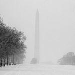
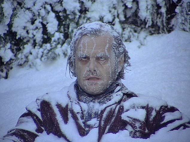
A polar vortex is coming to D.C. tomorrow and no, that does not mean a doom-metal band is playing (although, dibs on that band name).
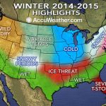
According to the National Weather Service, potentially record-setting low temperatures will be rolling into the D.C. area beginning late tonight and lasting until tomorrow evening. Just how cold will it be? You can expect the lows to be in the single digits at its worst, with the wind chill making it feel like it’s nearly 20 degrees below zero. Yeah, pretty damn cold.
Expect the sub-zero weather to begin rolling in late tonight as the temperatures drop to the teens. The temperature will stay through most of tomorrow, with the wind chill dropping into the single and negative digits. But, if you can brave it through tomorrow night, things will pick back up again on Wednesday, with the temperature rising into the 20s and 30s, and in the 40s on Thursday and Friday.
The frigid temperature is being caused by a “polar vortex,” which is “a formation of frigid, arctic winds that have been displaced unusually far south over the Great Lakes,” WAMU reports. The polar vortex is bringing what could be some of the lowest temperatures the region has seen in nearly twenty years. The NWS also warns that, if the right precautions aren’t taken, it could lead to frost bite and hypothermia. If you see a person in need of shelter, call either 1-800-535-7252 or 202-399-7093 to connect with D.C.’s shelter hotline.
Bundle up, D.C.