 Rachel Sadon
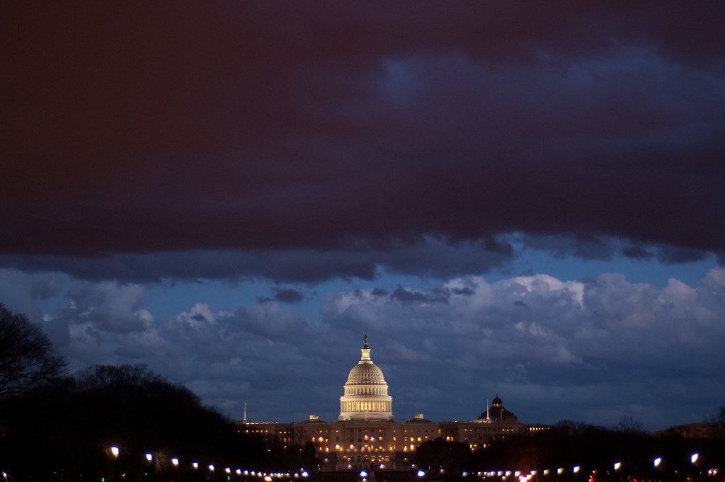
Add severe weather to the unholy confluence of the afternoon commute, Passover, Easter, and spring break travel that will likely be wreaking havoc on the roads tonight.
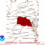
The National Weather Service has issued a tornado watch until midnight and a flash flood watch until 5 a.m. for a huge swath of the region. Meteorologists expect there to be multiple rounds of rain and thunderstorms throughout the evening, some of which will “likely be capable of producing damaging wind gusts and isolated tornadoes.” D.C. could see more than an inch of rain. The first, milder round of storms has already passed; a second, more intense round is expected to start around 6 p.m.
The Capital Weather Gang described the forthcoming weather as a “vigorous, springtime cyclone,” while WTOP’s meteorologist described it as “torrential downpours and heavy, blinding rains.”
So, yeah, stay safe out there.
Showers and thunderstorms will increase in coverage across the area this afternoon, and again this evening. Damaging winds, tornadoes, and flooding rain will be possible. Stay weather aware this afternoon and evening! Latest: https://t.co/5RyZgpeTAT. pic.twitter.com/i6k6MOFJya
— NWS Baltimore-Washington (@NWS_BaltWash) April 19, 2019