Margaret Barthel
 Sarah Y. Kim
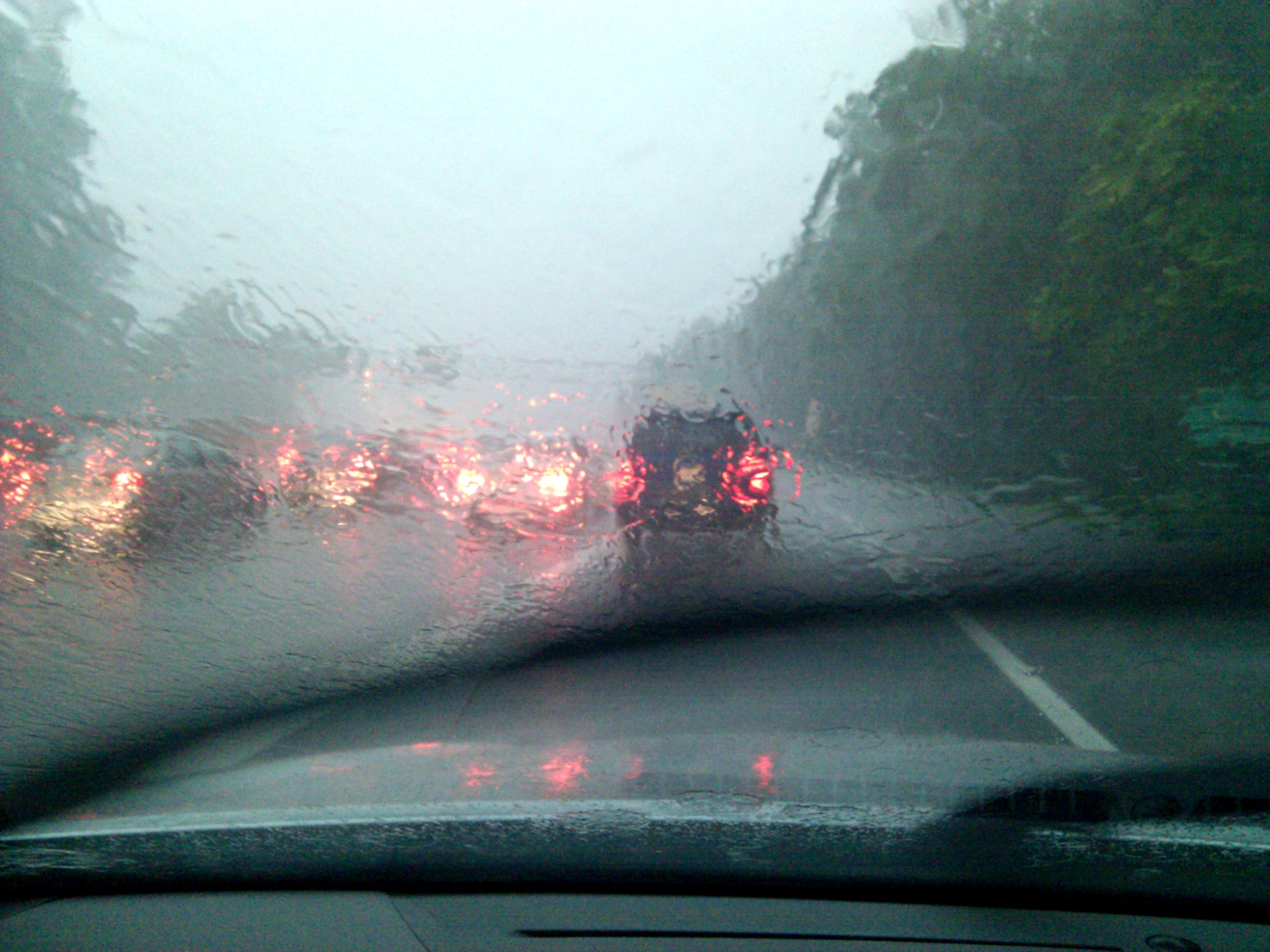
So you wanted snow this week? Too bad: we’re getting rain. A lot of rain, as well as wind. Storms expected Tuesday caused two local school systems to announce early closings, and officials are advising residents to prepare for potential flooding, power outages, and wind damage.
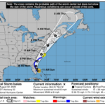
The National Weather Service predicts “a period of moderate to heavy rain” from Tuesday afternoon through Wednesday, with as much as 1.5 to 3 inches of rain — and in some cases 4 inches — falling in total. It’ll also be blustery, with winds at 20-30 miles per hour and gusts up to 50 miles per hour, which could result in downed tree limbs and power outages.
Early school closures
D.C. public schools is not planning on any early school closures at this time, but athletic programs after school have been canceled (other after school activities will go on). In Maryland, however, Prince George’s County Public Schools will be closing two hours early and canceling all after school and evening activities. Montgomery County Public Schools will be closing two and a half hours early.
In Virginia, Alexandria, Arlington, and Fairfax schools are cancelling after school activities. Check with your school district for additional updates.
Flooding
The agency issued coastal flood warnings for low-lying shorelines in the D.C. region, including outlying coastal suburbs in Fairfax, Prince William, and Prince George’s counties. The warning will be in effect from 10 p.m. Tuesday night until Wednesday morning. A wind advisory and flooding advisory will be in place starting midafternoon Tuesday, particularly around the evening’s high tide, which is at 6:30 p.m.
NWS is particularly concerned about conditions developing later this evening and into Wednesday.
“Excessive runoff may result in flooding of rivers, creeks, streams, and other low-lying and flood-prone locations,” according to the agency’s warning for coastal Fairfax. “Creeks and streams may rise out of their banks. Flooding may occur in poor drainage and urban areas. Low-water crossings may be flooded.”
In D.C., NWS says the strip of the Southwest Waterfront by the D.C. Seafood Market “is expected to flood,” as could parts of Hains Point Loop Road. Water may also get close to buildings on Alexandria’s flood-prone waterfront by King Street and Union St.
The rainfall totals are likely to exacerbate high tides this evening and again on Wednesday morning just after 7 a.m. Tides could be as much as 4 feet above normal.
“The first high tide cycle at Alexandria and Washington Channel where minor flood impacts are expected is during this evening’s high tide cycle,” per the NWS. “Moderate flooding impacts are possible tonight into the Wednesday morning high tide cycle.”
Plan for outages
Local officials are asking residents to exercise caution this evening and be prepared for possible power outages.
The DC Fire and Emergency Medical Services Department warns that downed lines are a real possibility and that residents should consider all downed wires live. The Homeland Security and Emergency Management Agency advises that people secure loose objects, clear gutters, and check storm drains. D.C. residents should call 911 if a downed wire is smoking or burning, and 311 for clogged storm drains and downed trees if there is no life hazard.
In Alexandria, the city’s transportation and environmental services department announced it would distribute sandbags — five per household or business, on a first come, first served basis — to residents concerned about property damage. Other Northern Virginia localities, including Fairfax County, advised residents to avoid driving through water of unknown depth.
The Maryland Department of Emergency Management is urging people to stay indoors, have an emergency kit ready, and plan for possible power outages. It’s also reminding people not to drive or walk in flooded roads.
This story has been updated with afternoon school closures.