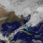
 Satellite image from earlier today. Image credit: NOAA/NASA GOES Project
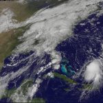
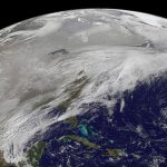
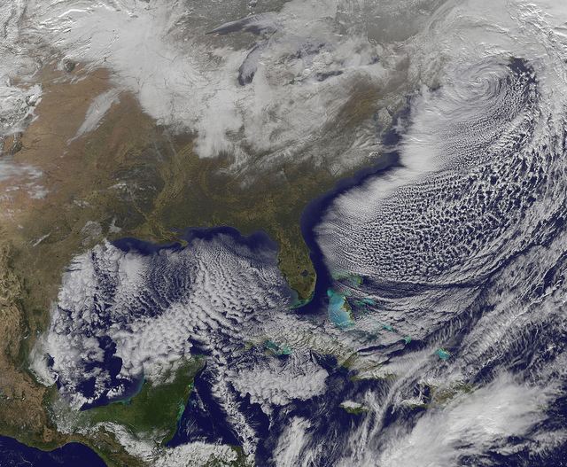
I know, we’ve been a little photo heavy today. But what are you going to do when the most exciting things happening are the weather and people Monday-morning quarterbacking the egregious bad call on the weather by D.C. meteorologists? Most everyone is either trapped in their Christmas vacation locales or staying inside for one reason or another. Either way, I always look forward to NASA’s release of satellite images anytime we get some big weather event – nothing puts into perspective the massive size and destructiveness of a hurricane or the pure blanket coverage of a regional thunderstorm like seeing it from above.
The image above is from NASA’s GOES-13 satellite. GOES stands for Geostationary Operational Environmental Satellite, which is run in conjunction with NOAA to collect data for weather forecasting and other meteorological research. There are four GOES satellites currently in operation for this purpose (11 through 14), with 13 keeping its eye mostly on the U.S. Number 13 was launched in 2006 and is expected to track U.S. weather conditions for at least another six years. Bookmark their project site for updates, which also appear on some of my favorite image websites, Earth Observatory and NASA Goddard’s Flickr page.
The satellite image from today is perhaps less impressive than last February’s Snowmageddon blanket, but you can still practically see those hellish winds rushing over the entire East coast.