Yesterday, the U.S. Department of Agriculture launched its Food Desert Locator, an online tool which can be used to identify which census tracts qualify as “food deserts.” According to the data, over 15,000 District residents live in such areas.
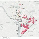
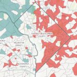
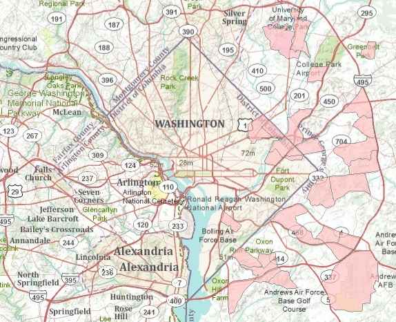
The USDA defines a “food desert” (shaded pink on the above map) as a “low-income census tract where either a substantial number or share of residents has low access to a supermarket or large grocery store” — inside the District there are six such tracts, located in Wards 5, 7 and 8, which encompass 15,799 residents. (The USDA defines “low income” as tracts where at least 20 percent of the people have income at or below the federal poverty levels for family size, or where median family income for the tract is at or below 80 percent of the surrounding area’s median family income; “low access” tracts are those in which at least 500 persons or 33 percent of their population live more than a mile from a supermarket or large grocery store.) Nationwide, around 4.4 percent of Americans live in “food deserts”; the District, meanwhile, is around 2.6 percent. The map also shows that Prince George’s County inside the Beltway is obviously suffering mightily from a lack of grocery options.
Discussion about food deserts has intensified over the past few months, as Washington prepares for the introduction of Walmarts into the city. Those looking to play around with the data can download it here.