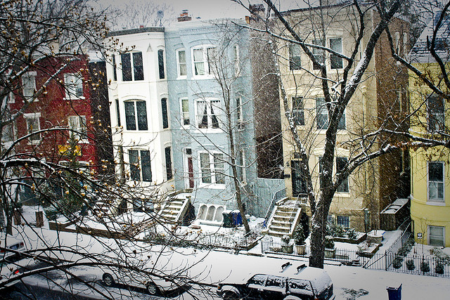
 Seems like D.C. and snow are never ever getting back together. (Photo by Rebecca Schley)
Even though the Department of Public Works has been salting the roads and preparing to lower the plows all day, it looks like D.C. will just continue to wait to see any accumulation of winter’s powdery presence.
The National Weather Service revised its winter weather advisory for the region, and dropped the District from the areas that should expect the nastiest weather. A pattern that began with a forecast of five inches of snow, then was reduced to one to three inches, is now down to half an inch of a wintry mix at most.
D.C.’s Homeland Security and Emergency Management Agency said shortly before 3 p.m. that city residents should expect a light dose of cold rain and sleet as temperatures dip to 31 degrees. If it snows at all, it will be barely noticeable:
The National Weather Service reports the District of Columbia has been removed from the Winter Weather Advisory. The District of Columbia should expect a wintery mix / sleet and less than a half inch of snow accumulation mainly before 10 PM. Expect low temperatures around 31 degrees with light and variable winds becoming northwest at 9 to 14 mph in the evening. Use caution while driving.
In short, today’s incoming weather pattern was nothing more than a tease, and the District’s record of days with less than two inches of snow on the ground—a streak dating back to January 26, 2011—appears poised to continue.