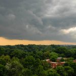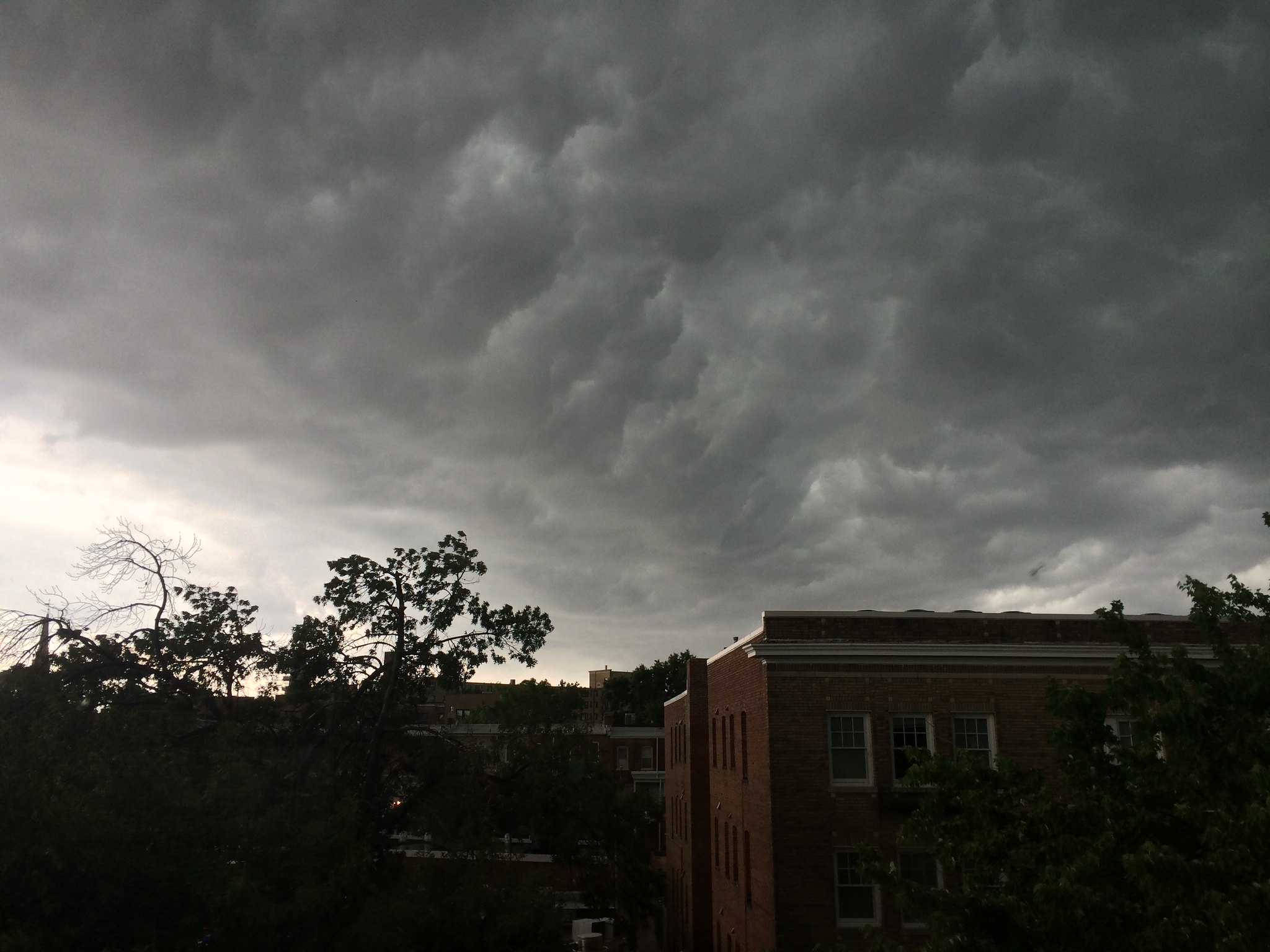
If each new thunderstorm that tears across the area fills you with dread about the rapidly warming planet, you’re probably not alone.
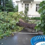
It’s been a summer with plenty of dark skies, high winds, sheeting rain, and thunderclaps. Lightning hit the Washington Monument on Sunday night, shutting it down to visitors for four days and counting. Last month, two tornadoes touched down on a single day in D.C. and Arlington.
But one local weather expert says he hasn’t seen much evidence to suggest D.C. storms in recent years have been getting more severe, or even more frequent.
“In some years we have a lot, in some years we have very little, depending on how the day-to-day weather trends add up over the course of the year,” said Christopher Strong, a Sterling, Virginia-based warning coordination meteorologist for the National Weather Service. “Two or three years ago, there was a year in particular when we just had a ton.”
That was 2019, when the Weather Service received 1,579 reports of tornadoes, damaging wind, and/or large hail across the greater D.C. region, which extends north to western and eastern Maryland and south to the Charlottesville area. In 2020, that same category had only 1,046 reports, according to data from Strong’s agency. So far this year, as the summer months are winding down, the Weather Service has collected 1,167 reports in that category. In other words, guys who love storms have had more to gawk at this year than last, but not as much as two years ago.
Other data sources show a similar pattern. Iowa State University’s Iowa Environmental Mesonet reports month-by-month storm data at National Airport. Since 2012, the number of storms per year hovered around 30, spiked to more than 60 in 2018 and 2019 — higher than any year in the previous decade. Then it dipped back down to 41 last year.
This year, with two months left in the data’s reporting period? 31.
Outage data from the region’s utility provider, Pepco, similarly reflect a less linear trend line than some might expect. The utility separates “major” storms that cause long-term disruptions from “minor” ones. The number of major storms in the area was one in 2018, three in 2019, and one in 2020. The number of minor storms vacillated from two in 2018 to 15 in 2019 and 10 in 2020.
So far this year, there have been two major storms and six minor ones, per Pepco’s figures. In other words: it hasn’t been a banner year out of the last few.
During the last decade, reports of flash flooding in the region peaked in 2011 with 337 flash floods, according to the Weather Service data. No other year since has even cracked 200. Last year it was 128. In 2019, it was 72.
That’s not to say that climate change fears are misplaced, or that D.C. area residents won’t feel its effects. We already have, and will continue to. But climate change won’t always present in ways that are easily observed, says Alex Anderson-Frey, an atmospheric scientist at the University of Washington’s College of the Environment.
For instance, ongoing desertification in the southwestern United States may create less favorable conditions for thunderstorms there, leading to fewer storms making their way across the country to our neck of the woods. On the other hand, an apparent increase in thunderstorms might be a product of higher temperatures in a given area, but it could just as easily be tied to a change in wind direction, or something else altogether.
Numbers aren’t useful without a deeper understanding of the factors driving them, Anderson-Frey says. The number of tornadoes nationwide appears to have increased sharply in recent decades — until you factor in that the technology used to detect tornadoes has become much more sophisticated. Severe thunderstorms might appear to be more common for D.C. area dwellers — or it might be that social media updates and smartphone push alerts are keeping us more regularly informed.
That said, there’s plenty of visible evidence of climate change’s effect on the region. Average temperatures during the summers in recent years tend to range from 77 to 81 degrees Fahrenheit, according to National Weather Service data. Forty years ago, the range tended to be 73 to 77. Higher temperatures and more frequent heat waves are among the climate change indicators the Environmental Protection Agency cited in a 2016 report.
The public is becoming more acutely aware of the urgency of climate change, but it’s important to understand what it will look like. Oversimplifications, like the notion that a single storm is directly linked to climate change, can get in the way. But people still need to navigate these weather events. So I asked Anderson-Frey and Strong for their best advice.
Anderson-Frey urged people not to park their cars beneath an underpass to wait out a thunderstorm. “If there is a tornado, there can be a wind tunnel and it’s extremely dangerous,” she says.
Strong’s answer is a little more … spine-chilling.
“A common thing that I hear from all corners of our forecast area is that we’re protected by this mountain or the topography of this area. ‘The storms always seem to go to the north of us or the south of us,’” Strong says. “It’s important to note that severe weather, tornadoes, can strike just about anywhere. That risk is something people need to always take into account.”
I feel better already. Don’t you?