 With all the bad news surrounding Metro recently, it is sometimes tough to remember how much we rely on it. The D.C area has the third highest transit ridership in the country, behind San Francisco and New York, and more than a third of District residents commute on Metro. Possible fare increases, tragic accidents, late, crowded trains, and other gripes are legitimate, but all transit systems have problems. When it comes down to it, Metro remains one of the best transit systems in the country.
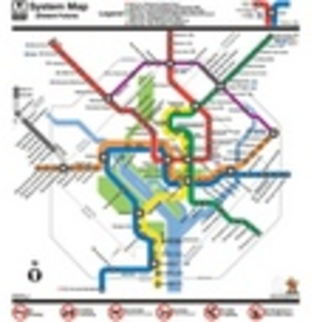
With that in mind, the blog Rethinking College Park looked into its crystal ball (also known as Photoshop) to envision what a Metro of the future might look like. If you click the map at right to enlarge it, you can see what many people agree is needed: significantly more transit in the suburbs. The Silver Line currently planned to run through Tysons to Dulles has been extended further into Loudoun County. The Purple Line from Bethesda to New Carrollton is in place, hitting Silver Spring and College Park along the way, imagining both as vital, transit-oriented areas (despite the objections of the City Paper). Finally, the Green Line has been extended from Greenbelt up to BWI, with stops in the planned Konterra Village, Columbia, and Fort Meade.
While this map only focuses on the northern suburbs of Washington, it’s not hard to envision similar transit development south of the city as well. In fact, the Anacostia Light Rail, H Street Streetcars, and other proposals could just as easily have appeared on this map too. What else are we missing here though? A southern extension of the Silver Line, maybe linking up with light rail or streetcars proposed for Columbia Pike on its way through Fairfax? A southern transit crossing over the Potomac, and into the Prince George’s areas not served by the Green Line? Leave us your own pie-in-the-sky ideas in the comments. They might never be funded, but imagining the possibilities is endless fun.